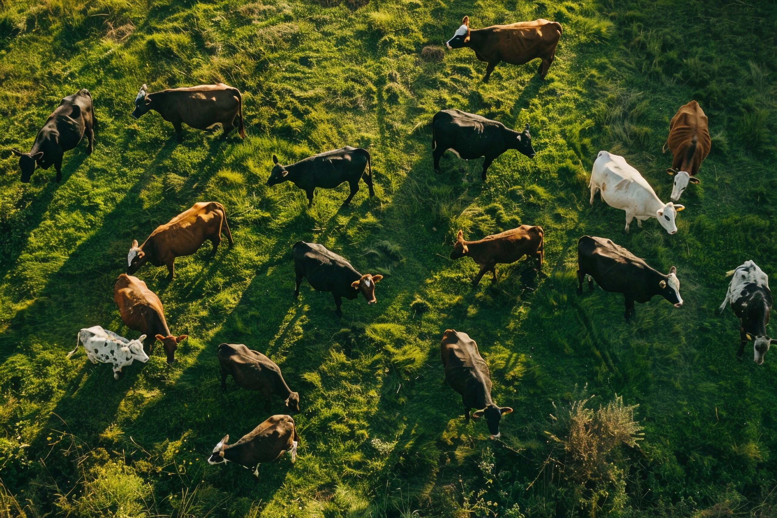
Our thermal drone surveys offer a highly effective, non-invasive solution for accurate livestock and wildlife population counts across large properties in Southwest Ohio. Using advanced infrared cameras, we detect the heat signatures of animals from the air, even in dense vegetation, wooded areas, or during low-light conditions such as dawn, dusk, or nighttime — when many species are most active.
This technology enables farmers to efficiently monitor herd sizes, locate missing livestock, and assess animal distribution, while conservationists and landowners can track wildlife populations, detect invasive species, or monitor endangered animals with minimal disturbance. Benefits include greater accuracy than ground counts, significant time and labor savings, enhanced animal welfare through reduced stress, and professional reports with thermal imagery and population estimates to support better land and resource management.
Benefits
Non-Invasive & Low-Stress
Monitor animals safely from the air with minimal disturbance, reducing stress on livestock and wildlife compared to ground-based surveys.
Certified & insured flight
FAA Part 107, fully insured
Advanced Thermal Detection
Use infrared technology to locate and count animals even in dense vegetation, wooded areas, or during low-light conditions (dawn, dusk, or night).
Accurate Population Counts
Obtain reliable herd sizes, distribution patterns, and movement data for livestock management or wildlife conservation efforts.