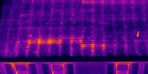
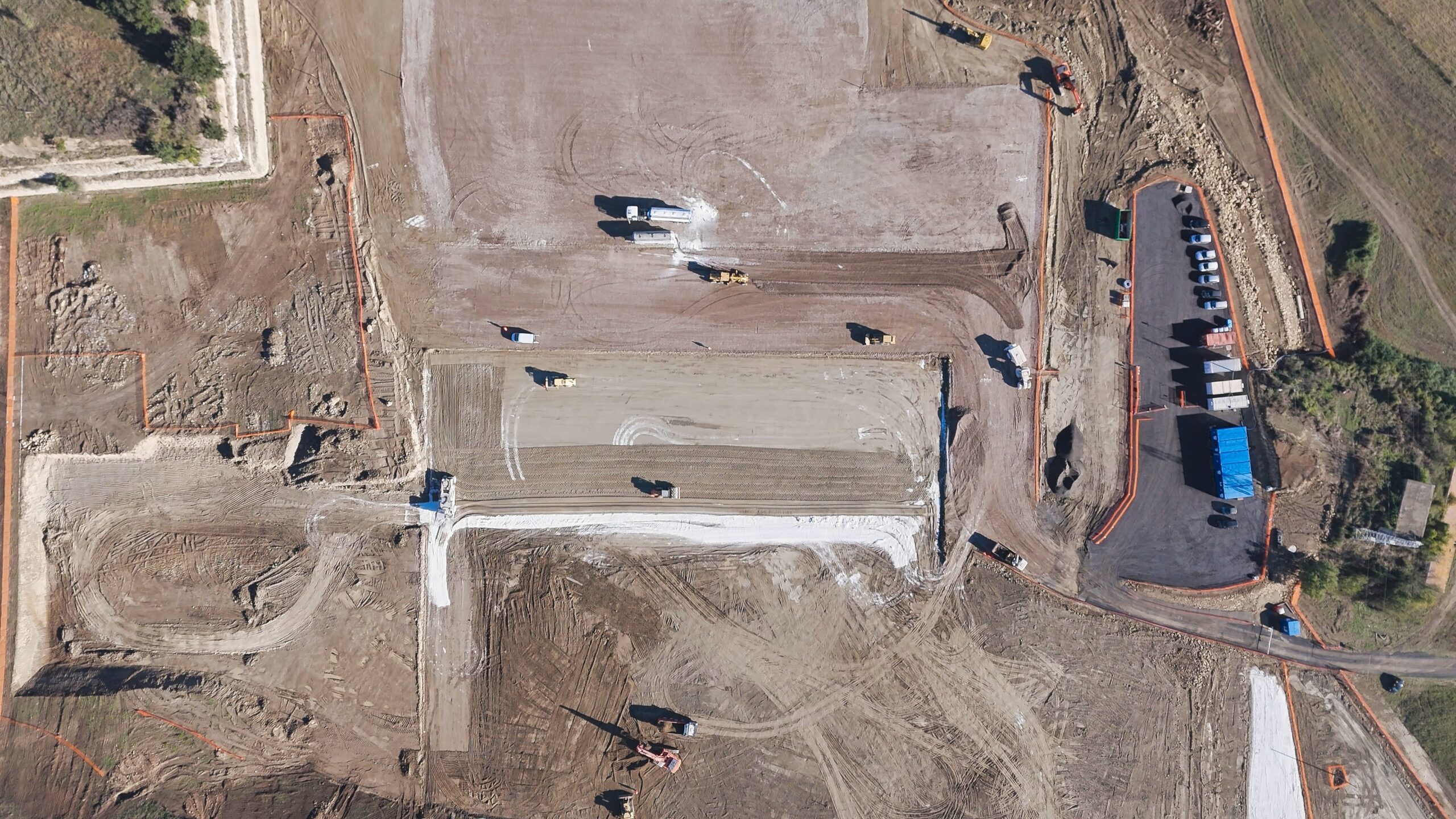
Althaus Aerial Solutions sets the highest standard in the industry, delivering professional, defensible data that exceed client expectations every time
With rigorous safety protocols, certified pilots, and a flawless safety record, Althaus Aerial Solutions ensures every project is completed with the utmost care and regulatory compliance.
Clients choose Althaus Aerial Solutions for our dependable professionalism, clear communication, and personalized service that makes the entire drone experience seamless and stress free.
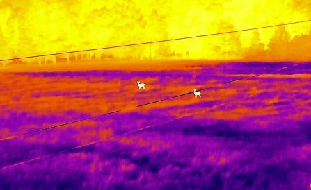
Powered by the latest drone technology and regularly maintained equipment, Althaus Aerial Solutions provides consistent, high performance results you can trust on every job.